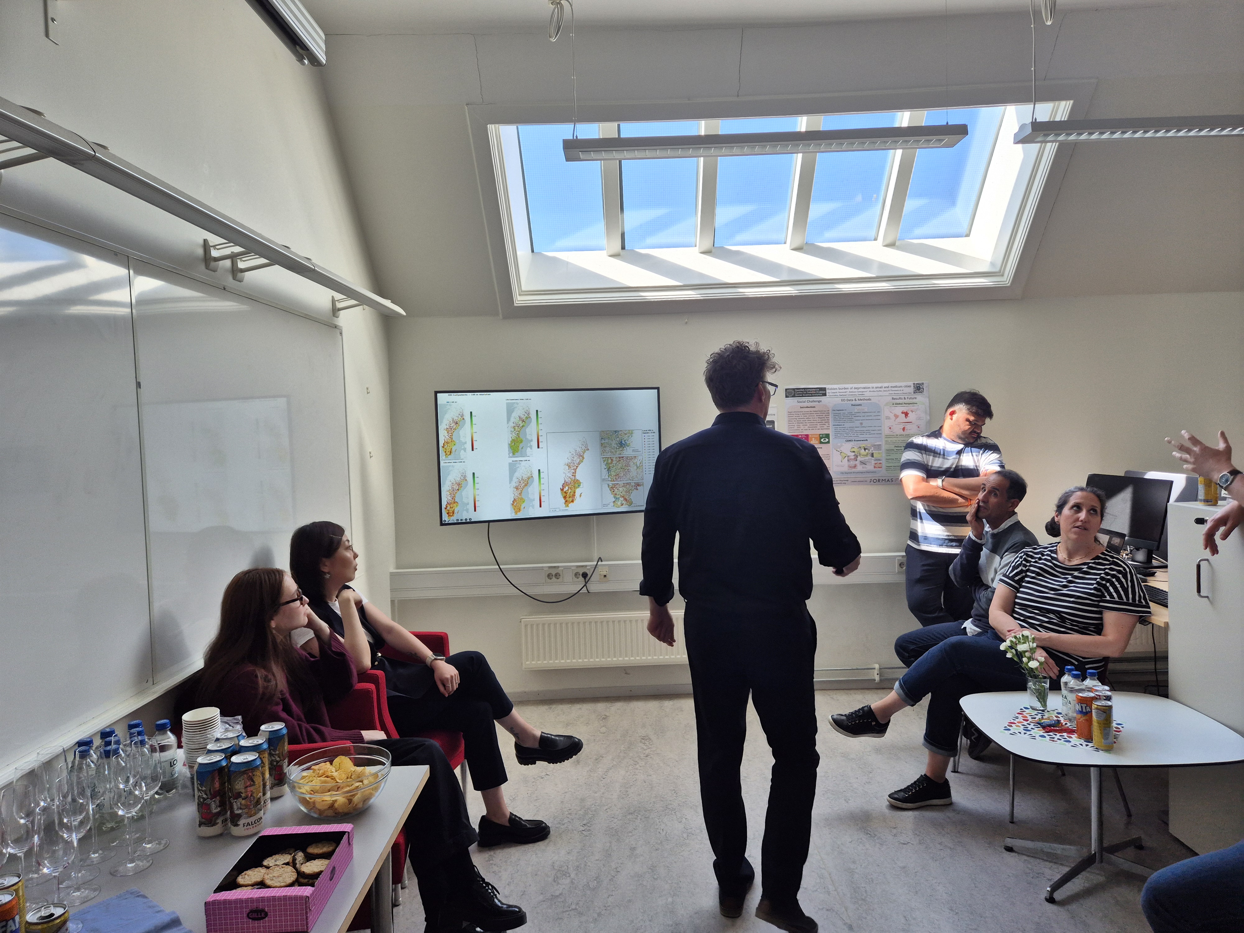
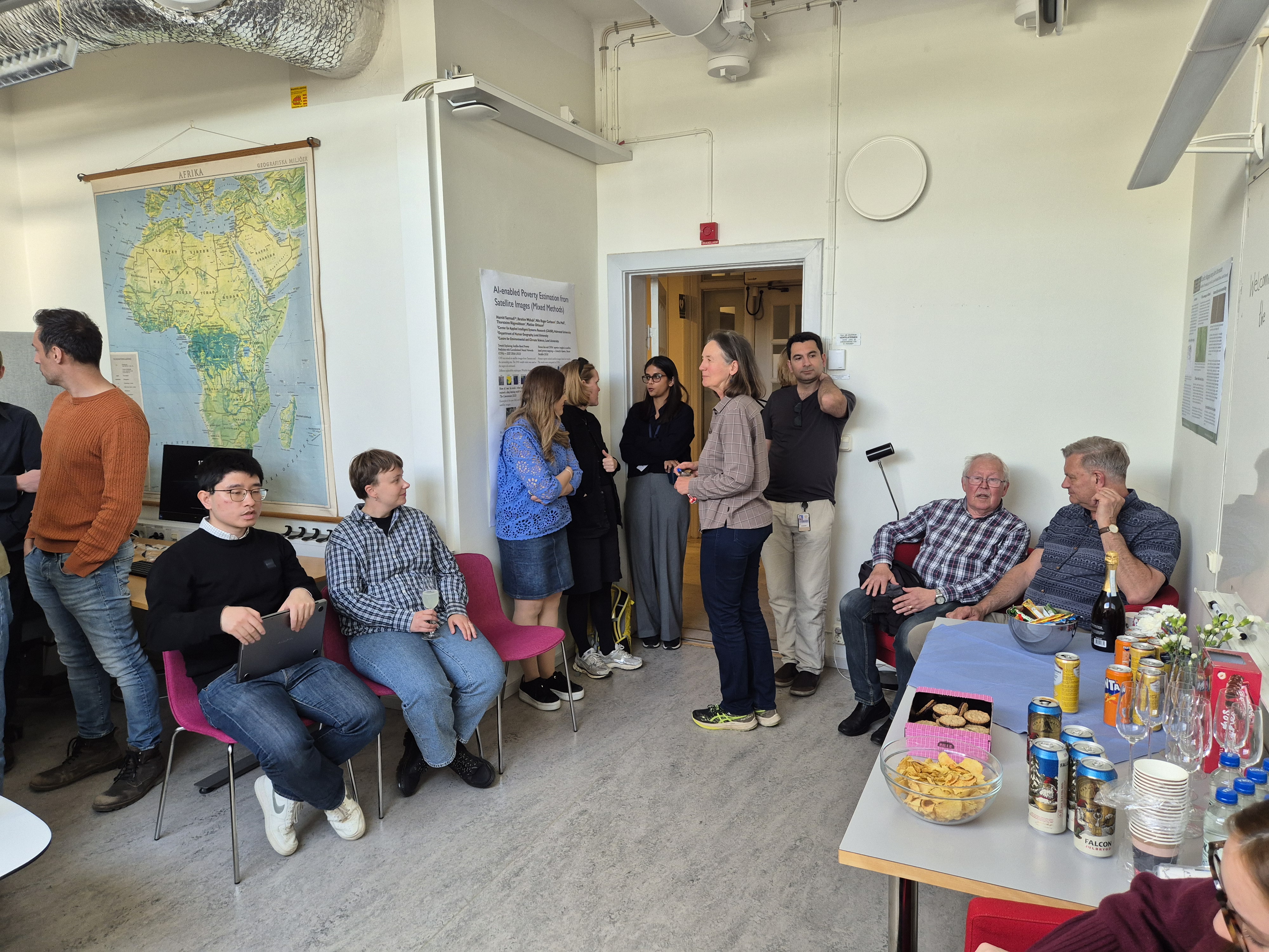
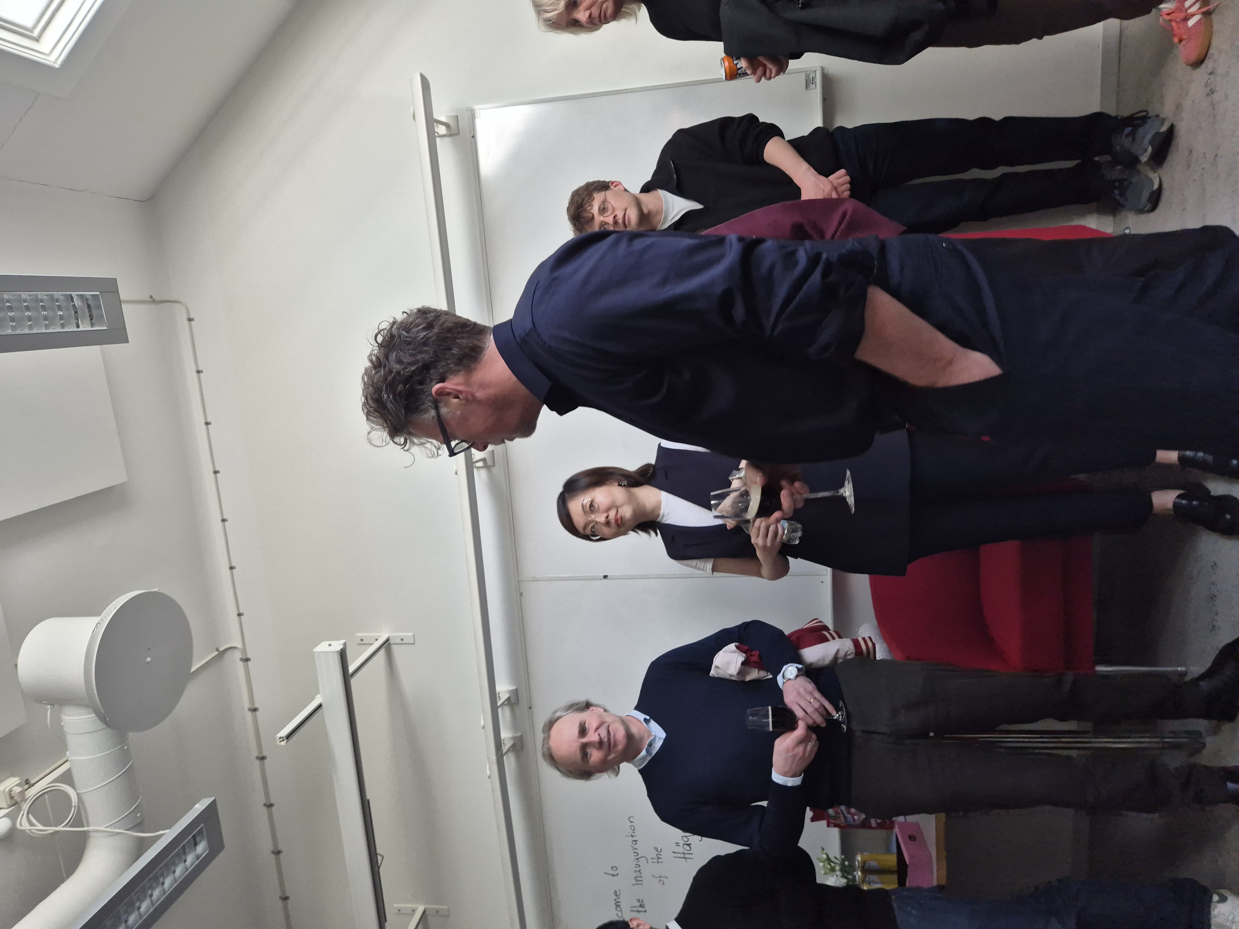
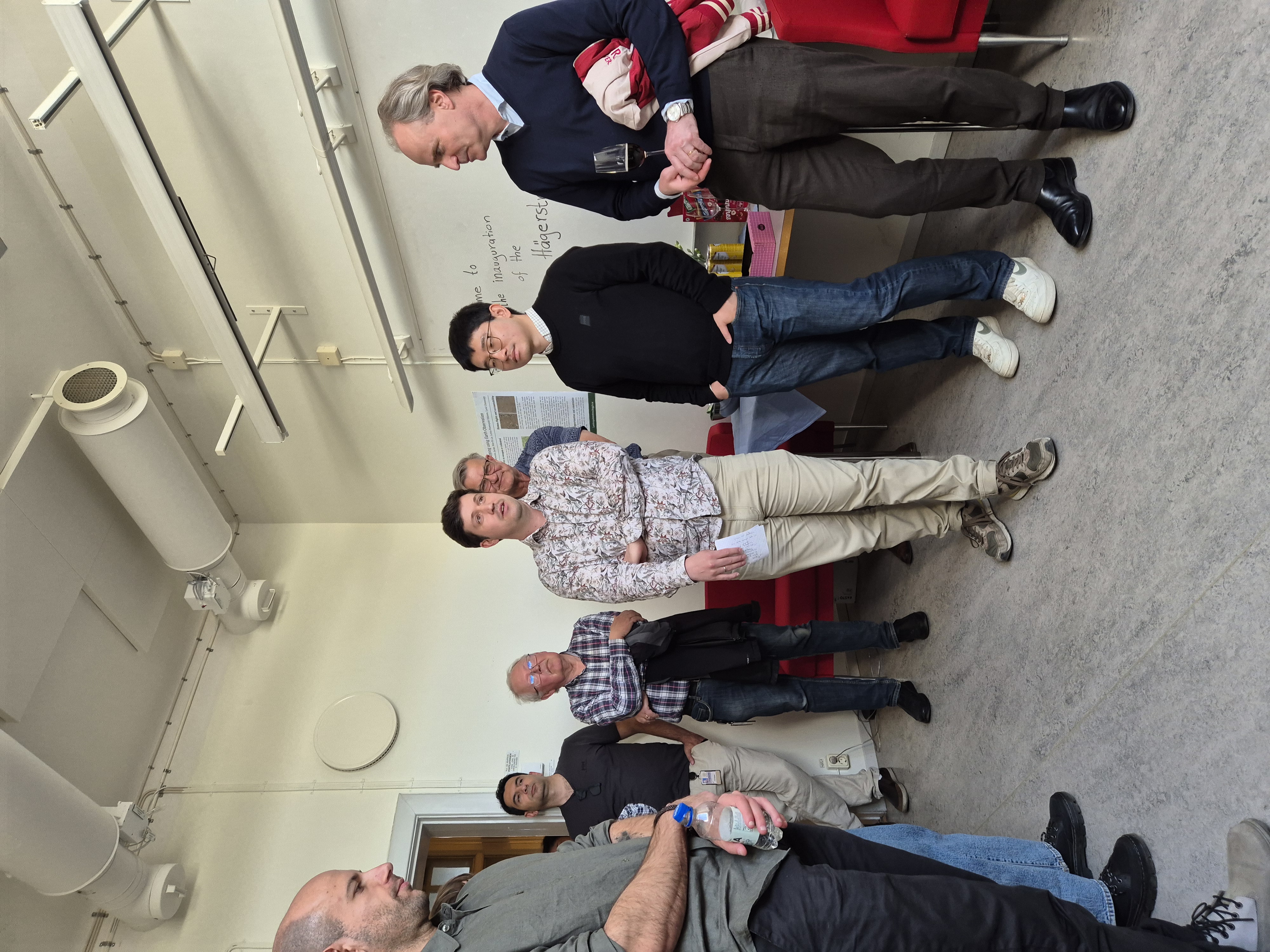
The Hägerstrand Lab is a research environment at the Department of Human Geography where computational approaches are developed, discussed, and put into practice. It brings together researchers, students, data, code, and infrastructure in one shared space.
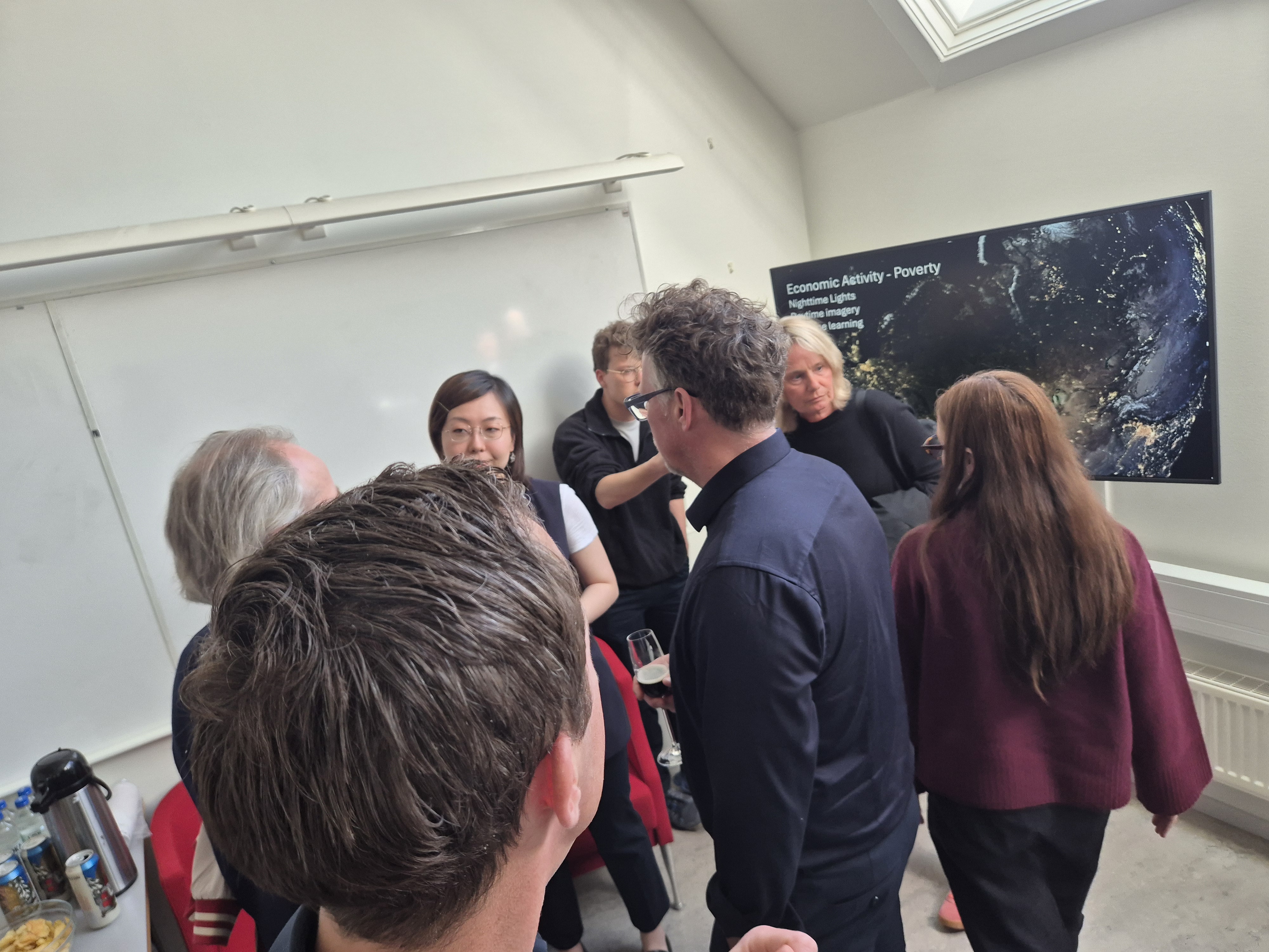
The lab supports work across human geography and computational social science — from spatial data analysis and machine learning to visualization, simulation, and digital mapping. Some projects are highly technical, others more exploratory. What matters is a willingness to work computationally with geographical questions.
Open by design
The lab does not follow a narrow definition of what "computational" should mean. Different methods, tools, and traditions coexist here: programming, GIS, statistics, visualization, modeling, qualitative–quantitative work, and experimental forms of inquiry.
Rather than enforcing a single approach, the lab is intended as a place where people with different competences can encounter each other's work, exchange ideas, and collaborate across boundaries.
Why Hägerstrand?
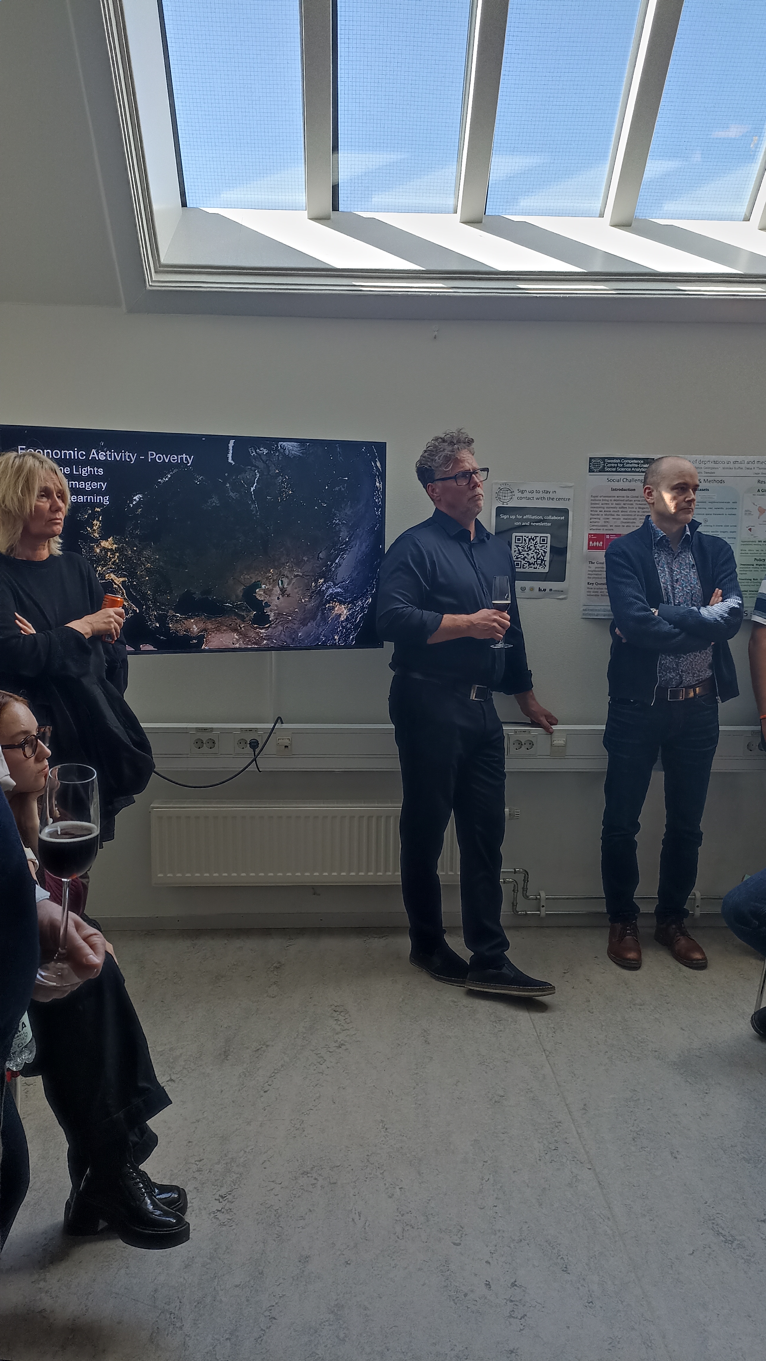
The lab is named after Torsten Hägerstrand, whose work at Lund University reshaped human geography through ideas about space, time, mobility, and everyday life. His time-geography described how human activity unfolds through paths, constraints, and interactions across space and time.
Many of those ideas now intersect naturally with contemporary computational methods: mobility data, spatial simulation, agent-based models, and large-scale geographical analysis. The name reflects both an intellectual inheritance and a continuing curiosity about how computational methods can deepen geographical understanding.
 Swedish Competence Centre for Satellite-Enabled Social Science Analytics
SESAC
Swedish Competence Centre for Satellite-Enabled Social Science Analytics
SESAC
 Länsförsäkringar
Research
Länsförsäkringar
Research
 AI Lund
Lund University
AI Lund
Lund University
 WASP-HS
AI, Humanities and Society
WASP-HS
AI, Humanities and Society
 LUNARC
Scientific Computing
LUNARC
Scientific Computing